- 142 pages
- English
- ePUB (mobile friendly)
- Available on iOS & Android
eBook - ePub
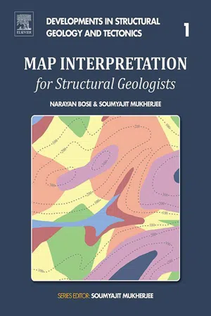
Map Interpretation for Structural Geologists
About this book
Map Interpretation for Structural Geologists covers various topics, from deciphering topography using contour patterns to interpreting folds, faults, unconformities and dykes. By interpreting several types of maps, this book gives readers the confidence to solve difficult geologic questions related to map interpretation in the classroom and in the field. Interpreting geological and structural maps is an inseparable part of learning structural geology in the undergraduate curriculum and postgraduate development.
- Features approximately 30 full-color geological or structural maps and their solutions, from basic to the most complex
- Includes content appropriate for undergraduate and graduate students and professional geoscientists alike
- Presents a self-learning guide and teaching manual with minimum instruction required
Trusted by 375,005 students
Access to over 1.5 million titles for a fair monthly price.
Study more efficiently using our study tools.
Information
Topic
Physical SciencesSubtopic
Geology & Earth SciencesChapter 1
Topography
Abstract
This chapter discusses how topography is represented in topo-sheets along with contour lines. Map representations for various topographic features, e.g., valleys, spurs, domes, basins, etc., are discussed. Interpreting topographic maps and drawing their cross-sections are described in this chapter.
Keywords
Topography; cross-section; valley; spur
In geological maps, the undulation of the topography is represented by height contours. These contours represent lines along which all the points have the same altitude. Height contours are represented usually by broken lines and the numbers attached to them indicate the altitude of the corresponding contour. A vertical cross-section (herein referred to as “cross-section”) accompanies a geological map, in almost all cases. Cross-sections represent various topographic and sub-surface structural geological features. Concept 1.1A exemplifies of how a three-dimensional topographic feature is presented in a map (as height contours) and in a cross-section. Concepts 1.1B and 1.1C show how various topographic features can be understood from height contours.


Map 1.1 has only height contours. The task is to describe different topographic features present in Map 1.1, as well as to draw a suitable cross-section.

MAP 1.1
Map 1.1 represents an undulating topography. The maximum height reaches 900 m or more, and the minimum height is 500 m or less. Six valleys are present (marked in Fig. 1.1A). The central elevated region works as a water divide (also see Concept 1.1B E) as two valleys (V5 and V6) slope in opposite directions. Fig. 1.1B: cross-section along the “MN” line in Fig. 1.1A.

Table of contents
- Cover image
- Title page
- Table of Contents
- Copyright
- Dedication
- Preface
- Acknowledgments
- Chapter 1. Topography
- Chapter 2. Horizontal and Inclined Beds
- Chapter 3. Unconformity
- Chapter 4. Folds
- Chapter 5. Faults
- Chapter 6. Summary maps
- Chapter 7. Miscellaneous maps
- References
- Index
Frequently asked questions
Yes, you can cancel anytime from the Subscription tab in your account settings on the Perlego website. Your subscription will stay active until the end of your current billing period. Learn how to cancel your subscription
No, books cannot be downloaded as external files, such as PDFs, for use outside of Perlego. However, you can download books within the Perlego app for offline reading on mobile or tablet. Learn how to download books offline
Perlego offers two plans: Essential and Complete
- Essential is ideal for learners and professionals who enjoy exploring a wide range of subjects. Access the Essential Library with 800,000+ trusted titles and best-sellers across business, personal growth, and the humanities. Includes unlimited reading time and Standard Read Aloud voice.
- Complete: Perfect for advanced learners and researchers needing full, unrestricted access. Unlock 1.5M+ books across hundreds of subjects, including academic and specialized titles. The Complete Plan also includes advanced features like Premium Read Aloud and Research Assistant.
We are an online textbook subscription service, where you can get access to an entire online library for less than the price of a single book per month. With over 1.5 million books across 990+ topics, we’ve got you covered! Learn about our mission
Look out for the read-aloud symbol on your next book to see if you can listen to it. The read-aloud tool reads text aloud for you, highlighting the text as it is being read. You can pause it, speed it up and slow it down. Learn more about Read Aloud
Yes! You can use the Perlego app on both iOS and Android devices to read anytime, anywhere — even offline. Perfect for commutes or when you’re on the go.
Please note we cannot support devices running on iOS 13 and Android 7 or earlier. Learn more about using the app
Please note we cannot support devices running on iOS 13 and Android 7 or earlier. Learn more about using the app
Yes, you can access Map Interpretation for Structural Geologists by Narayan Bose,Soumyajit Mukherjee in PDF and/or ePUB format, as well as other popular books in Physical Sciences & Geology & Earth Sciences. We have over 1.5 million books available in our catalogue for you to explore.