- 200 pages
- English
- ePUB (mobile friendly)
- Available on iOS & Android
About this book
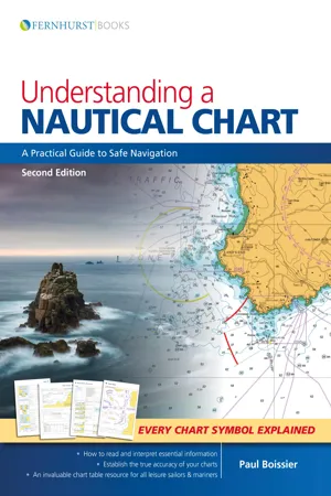
We all rely on charts to navigate at sea – but are we missing essential information? A mass of data is included on each chart and deciphering the many symbols and abbreviations can be complicated. The accuracy of some charted depths can be trusted entirely while others should be treated with caution. This book will tell you where to find and how to understand this vital knowledge. This updated second edition explains how charts are compiled before guiding you through the elements that make up these vital navigational tools. Improve you understanding of charts and you will navigate with increased safety and confidence. Understanding a Nautical Chart offers superb value as, in addition to a wealth of practical advice, there is a key to all the recently updated chart symbols and abbreviations from Symbols and Abbreviations Used on Admiralty Charts (5011). It includes information on electronic charts, explains how to update a chart and how to establish the accuracy of each chart. It is ideal for professional mariners and leisure sailors.
Tools to learn more effectively

Saving Books

Keyword Search

Annotating Text

Listen to it instead
Information
Table of contents
- Cover
- Title
- Copyright
- Contents
- Dedication
- 1 What is a Chart?
- 2 A Chart is Never 100% Accurate
- 3 What the Chart-Maker Does for Us
- 4 Other Relevant Documentation
- 5 How to Use a Chart
- 6 Orientation
- 7 The Basics (and Where to Find Them)
- 8 Depth and Elevations
- 9 Landmarks, Lights and Coastal Features
- 10 Dangers: Wrecks, Rocks and Obstructions
- 11 Navigation Restrictions and Limits
- 12 Radar and Radio
- 13 Tides, Tidal Streams and Currents
- 14 Small Craft Features
- 15 Other Charting Authorities
- 16 GPS
- 17 Digital Charting
- Symbols and Abbreviations used on Admiralty Paper Charts
Frequently asked questions
- Essential is ideal for learners and professionals who enjoy exploring a wide range of subjects. Access the Essential Library with 800,000+ trusted titles and best-sellers across business, personal growth, and the humanities. Includes unlimited reading time and Standard Read Aloud voice.
- Complete: Perfect for advanced learners and researchers needing full, unrestricted access. Unlock 1.4M+ books across hundreds of subjects, including academic and specialized titles. The Complete Plan also includes advanced features like Premium Read Aloud and Research Assistant.
Please note we cannot support devices running on iOS 13 and Android 7 or earlier. Learn more about using the app