- 224 pages
- English
- ePUB (mobile friendly)
- Available on iOS & Android
eBook - ePub
About this book
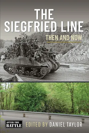
"The book is well written, documented and is very easy to read. It's a great volume of what was there during the invasion and how it fared in the end." -IPMS/USA The book comes in three distinct sections – the first is an in-depth analysis of the German 'Westwall' defense system built between 1936 and 1944. This includes the build phases, the organization of the workforce and the political background. The second section looks at the Allied campaign to overcome the defenses of the Siegfried Line through the winter of 1944/45, focussing on three major operations by the US, British and Canadian armies. The third section deals with the perception of the Westwall in the eighty years since the war and then outlines a battlefield tour guide of those elements that still survive. This book includes maps, photographs and illustrations. Of these, around 140 are in a color section making up the concluding section of the book.
Trusted by 375,005 students
Access to over 1.5 million titles for a fair monthly price.
Study more efficiently using our study tools.
Information
Subtopic
European HistoryIndex
HistoryTable of contents
- Cover
- Title
- Copyright
- Contents
- FOREWORD
- PART 1: THE WALL IN THE WEST
- PART 2: BREACHING THE LINE
- PART 3 – BATTLEFIELD GUIDE
- BIBLIOGRAPHY
- GLOSSARY
- Comparative Rank Chart
Frequently asked questions
Yes, you can cancel anytime from the Subscription tab in your account settings on the Perlego website. Your subscription will stay active until the end of your current billing period. Learn how to cancel your subscription
No, books cannot be downloaded as external files, such as PDFs, for use outside of Perlego. However, you can download books within the Perlego app for offline reading on mobile or tablet. Learn how to download books offline
Perlego offers two plans: Essential and Complete
- Essential is ideal for learners and professionals who enjoy exploring a wide range of subjects. Access the Essential Library with 800,000+ trusted titles and best-sellers across business, personal growth, and the humanities. Includes unlimited reading time and Standard Read Aloud voice.
- Complete: Perfect for advanced learners and researchers needing full, unrestricted access. Unlock 1.5M+ books across hundreds of subjects, including academic and specialized titles. The Complete Plan also includes advanced features like Premium Read Aloud and Research Assistant.
We are an online textbook subscription service, where you can get access to an entire online library for less than the price of a single book per month. With over 1.5 million books across 990+ topics, we’ve got you covered! Learn about our mission
Look out for the read-aloud symbol on your next book to see if you can listen to it. The read-aloud tool reads text aloud for you, highlighting the text as it is being read. You can pause it, speed it up and slow it down. Learn more about Read Aloud
Yes! You can use the Perlego app on both iOS and Android devices to read anytime, anywhere — even offline. Perfect for commutes or when you’re on the go.
Please note we cannot support devices running on iOS 13 and Android 7 or earlier. Learn more about using the app
Please note we cannot support devices running on iOS 13 and Android 7 or earlier. Learn more about using the app
Yes, you can access The Siegfried Line by Daniel Taylor in PDF and/or ePUB format, as well as other popular books in History & European History. We have over 1.5 million books available in our catalogue for you to explore.