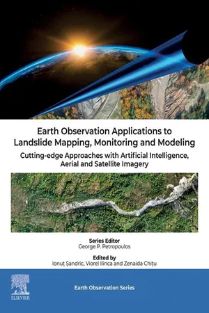
eBook - PDF
Earth Observation Applications to Landslide Mapping, Monitoring and Modeling
Cutting-edge Approaches with Artificial Intelligence, Aerial and Satellite Imagery
- 400 pages
- English
- PDF
- Available on iOS & Android
eBook - PDF
Earth Observation Applications to Landslide Mapping, Monitoring and Modeling
Cutting-edge Approaches with Artificial Intelligence, Aerial and Satellite Imagery
About this book
Earth Observation Applications to Landslide Mapping, Monitoring and Modelling: Cutting-edge Approaches with Artificial Intelligence, Aerial and Satellite Imagery focuses on the applications of drone and satellite imagery for mapping landslides. Topics covered include the use of ultra-high aerial imagery, obtained with drones, for mapping and predicting landslide activity (like runoff, volume displacement, exposure to risk, etc.). Subjects related to EO data assimilations into landslide hazard prediction models are also included. The primary aim of this book is to advance the scientific understanding and application of technologies to address a variety of fields related to landslide mapping and monitoring.Because of the intensification of the catastrophic events in the last 20 years, landslide monitoring gained considerable interest from the geoscience community. This book will be beneficial for the postgraduates, PhD research scholars, professors and scientists, geospatial experts, modelers, oceanography scientists and conservation communities, environmental consultants, big data compilers, and computing experts.
- Recent developments in landslide monitoring and mapping algorithms
- Provides clear and detailed case studies and methods that can be easily replicated and implemented in landslide monitoring systems
- Provides detailed methods for applying research to landslide monitoring and mapping
Frequently asked questions
Yes, you can cancel anytime from the Subscription tab in your account settings on the Perlego website. Your subscription will stay active until the end of your current billing period. Learn how to cancel your subscription.
No, books cannot be downloaded as external files, such as PDFs, for use outside of Perlego. However, you can download books within the Perlego app for offline reading on mobile or tablet. Learn more here.
Perlego offers two plans: Essential and Complete
- Essential is ideal for learners and professionals who enjoy exploring a wide range of subjects. Access the Essential Library with 800,000+ trusted titles and best-sellers across business, personal growth, and the humanities. Includes unlimited reading time and Standard Read Aloud voice.
- Complete: Perfect for advanced learners and researchers needing full, unrestricted access. Unlock 1.4M+ books across hundreds of subjects, including academic and specialized titles. The Complete Plan also includes advanced features like Premium Read Aloud and Research Assistant.
We are an online textbook subscription service, where you can get access to an entire online library for less than the price of a single book per month. With over 1 million books across 1000+ topics, we’ve got you covered! Learn more here.
Look out for the read-aloud symbol on your next book to see if you can listen to it. The read-aloud tool reads text aloud for you, highlighting the text as it is being read. You can pause it, speed it up and slow it down. Learn more here.
Yes! You can use the Perlego app on both iOS or Android devices to read anytime, anywhere — even offline. Perfect for commutes or when you’re on the go.
Please note we cannot support devices running on iOS 13 and Android 7 or earlier. Learn more about using the app.
Please note we cannot support devices running on iOS 13 and Android 7 or earlier. Learn more about using the app.
Yes, you can access Earth Observation Applications to Landslide Mapping, Monitoring and Modeling by Ionut Sandric,Viorel Ilinca,Zenaida Chitu,Ionuţ Şandric in PDF and/or ePUB format, as well as other popular books in Physical Sciences & Geophysics. We have over one million books available in our catalogue for you to explore.
Information
Table of contents
- Front Cover
- Earth Observation Applications to Landslide Mapping, Monitoring and Modeling
- Copyright Page
- Contents
- List of contributors
- 1 Introduction
- 2 Satellite data in landslide mapping and monitoring
- 3 Drone applications for landslide mapping and monitoring
- 4 EO data assimilations in landslide susceptibility, hazard mapping and risk assessment
- 5 Future challenges and future outlook
- Index
- Back Cover