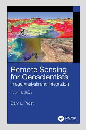
Remote Sensing for Geoscientists
Image Analysis and Integration
- 696 pages
- English
- ePUB (mobile friendly)
- Available on iOS & Android
About this book
The fourth edition of the bestselling Remote Sensing for Geoscientists: Image Analysis and Integration expands the scope of remote sensing to cover image systems that did not exist 11 years ago when the third edition was published. It is thoroughly updated to meet the needs of readers today and provides examples of new capabilities using Google Earth© and various apps. It describes the latest remote sensing systems and sensors, provides examples of imagery, and explains how to analyze and integrate remote sensing images in projects that require superior results. Lavishly illustrated, it serves as a how-to guide for those using remote sensing in Earth Sciences for mapping and monitoring.
New in the Fourth Edition:
- Thoroughly revised to address remote sensing technological advances achieved in recent years.
- Includes new examples of using remote sensing for successful projects in water, oil, gas, and mineral exploration and exploitation, forensic remote sensing, and environmental monitoring.
- Reviews the latest instrumentation, processing, and integrated analysis of imagery.
- Includes two new chapters, including one on clandestine geologic remote sensing and a new chapter on free Google Earth software to remotely sense anywhere on Earth and process imagery to highlight geologic features.
- Maintains a clear style and simple language understandable by the average person.
This is a terrific, all-encompassing text for professionals in industry and governmental agencies, academics, and students who are part of the remote sensing and geospatial community and working in the fields of geology, geosciences, energy and mining industry, groundwater, and environmental engineering and for those who are involved in monitoring natural resources, the environment, and natural disasters.
Information
Table of contents
- Cover
- Half Title
- Title
- Copyright
- Dedication
- Contents
- Preface to the Fourth Edition
- About the Author
- Acknowledgments
- Section One Initiating Projects
- Section Two Remote Sensing in Geologic Mapping and Resource Exploration
- Section Three Exploitation, Hydrologic, and Engineering Remote Sensing
- Section Four Environmental Remote Sensing
- Section Five Astrogeology
- Section Six Remote Sensing, Geoscience, and Society
- Index
Frequently asked questions
- Essential is ideal for learners and professionals who enjoy exploring a wide range of subjects. Access the Essential Library with 800,000+ trusted titles and best-sellers across business, personal growth, and the humanities. Includes unlimited reading time and Standard Read Aloud voice.
- Complete: Perfect for advanced learners and researchers needing full, unrestricted access. Unlock 1.4M+ books across hundreds of subjects, including academic and specialized titles. The Complete Plan also includes advanced features like Premium Read Aloud and Research Assistant.
Please note we cannot support devices running on iOS 13 and Android 7 or earlier. Learn more about using the app