- 273 pages
- English
- PDF
- Available on iOS & Android
About this book
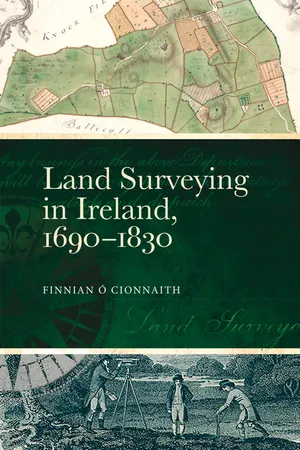
Ireland's rich history of manuscript and printed maps is testament to the information that earlier generations sought from the environment around them. Although we are accustomed to seeing these beautiful documents illustrate research on the early modern period, rarely has the complex story of the processes, technology and people that led to their creation been told. Key to this tale is the role of the land surveyor, the technical specialist who physically measured and plotted Ireland's landscape, and whose work was fundamentally intertwined with wider political, economic and social factors that shaped national identity. This book explores the profession of surveying and those who practised it between the era of repressive land forfeitures (ending 1703) and the formation of the Ordnance Survey of Ireland (1825). It uses the careers of three prominent surveyors – Gabriel Stokes (b. 1682, d. 1768), Robert Gibson (d. 1761) and John Longfield (b. c.1775, d. 1833) – as guides to the complex, competitive and vibrant world of independent commercial land measurement. In doing so it exposes the efforts taken by generations of land surveyors to capture the island's landscape.
Frequently asked questions
- Essential is ideal for learners and professionals who enjoy exploring a wide range of subjects. Access the Essential Library with 800,000+ trusted titles and best-sellers across business, personal growth, and the humanities. Includes unlimited reading time and Standard Read Aloud voice.
- Complete: Perfect for advanced learners and researchers needing full, unrestricted access. Unlock 1.4M+ books across hundreds of subjects, including academic and specialized titles. The Complete Plan also includes advanced features like Premium Read Aloud and Research Assistant.
Please note we cannot support devices running on iOS 13 and Android 7 or earlier. Learn more about using the app.
Information
Table of contents
- Cover
- Dedication
- Title page
- Copyright page
- Table of contents
- Preface
- Acknowledgments
- List of illustrations
- List of abbreviations
- 1. Introduction
- 2. Ireland’s estate landscape: creating the workenvironment of eighteenth-century surveyors
- 3. Surveying and the mathematical instrument trade, 1715–60
- 4. Surveying education: training, teachers and apprenticeships, 1690‒1760
- 5. Mid-century reformers: attempts at industrial cohesion
- 6. Mid-century radicals: changes in map design and business management
- 7. Scientific surveying comes to Ireland,1809 onward
- 8. Conclusions
- Appendix A: Stokes and Longfield family legacies
- Appendix B: Practical surveying in the United States, 1785–1839
- Bibliography
- Index