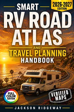
?? A Complete RV Road Atlas and Planning System: Full-Page Maps, RV Size Limits, Scenic Drives and Day-by-Day Itineraries in One Book
Has your navigation app ever sent your RV toward a low bridge, a narrow mountain road or a tunnel you were not allowed to drive through?
Do you want to know before you leave which passes are steep, which tunnels ban propane and how far it really is to the next fuel stop?
Would it help to have one book on the dinette table that shows the route, the limits and the plan, even when there is no signal?
? Smart RV Road Atlas and Travel Planning Handbook brings those answers together in one large-format book. It combines a full-page road atlas, RV-specific reference tables, mapped scenic drives, ready-to-drive itineraries and a fill-in trip planner.
Here's what's inside:
? The Atlas. A U.S. Interstate map, larger West and East Interstate maps, a 30-city mileage chart and 15 full-page regional maps covering every part of the lower 48. Each region has a page of RV intelligence: main corridors, passes and tunnels to watch, best seasons and highlights.
? 12 scenic drives, each with its own route map. Includes Big Sur, the Oregon Coast, Going-to-the-Sun Road, Beartooth Highway, Utah Scenic Byway 12, Trail Ridge Road, the Million Dollar Highway, the Black Hills, the Blue Ridge Parkway, Skyline Drive, the Natchez Trace and the Overseas Highway to Key West. Each fact sheet gives RV length and height limits, tunnel clearances, grades, fuel and an RV-friendly alternate.
? 6 day-by-day itineraries with maps. Grand Canyon and the Utah canyons (7 days), Route 66 at 100 (14 days), the Black Hills and Badlands (6 days), the Smokies and Blue Ridge (7 days), the Oregon Coast and Crater Lake (8 days) and a Gulf Coast snowbird route (12 days). Each comes with daily miles, overnight options and what big rigs need to know.
? RV reference tables. Height, width, length and triple-tow rules for all 50 states and D.C. Also included: 19 mountain passes and steep grades, propane rules for 16 tunnels and tunnel groups, and diagrams on true height, off-tracking, long descents and fuel range.
? Navigating a Day Without GPS. A simple 7-step routine for planning each driving day from the maps and tables, using exit numbers, mile markers and bailout points. It includes a fully worked example from Denver to Moab.
? A 10-chapter handbook. Covers route planning, safe navigation, terrain and regions, scenic travel, overnight stops, fuel and vehicle preparedness, seasons, travel records and emergencies, with page references that link the advice to the right map or table.
This book is written for new and experienced RV owners, full-timers and snowbirds, families, pet travelers and anyone planning scenic drives or multi-state trips across the United States. It works on its own at the campsite and alongside your GPS on the road.
Please note: this is a planning atlas printed in black and white in a large 8.5 × 11 format. The regional maps show Interstates and U.S. highways for route planning; they are not street-level or state-by-state maps. Road conditions and rules change, so always follow posted signs and check official sources before you travel.
Even if past trips included wrong turns, surprise detours or stressful driving days, this book turns RV travel into a clear, repeatable routine. Plan the night before, drive with confidence and enjoy the road.