Electromagnetic Methods in Geophysics
eBook - ePub

Electromagnetic Methods in Geophysics

Applications in GeoRadar, FDEM, TDEM, and AEM

Fabio Giannino, Giovanni Leucci

Partager le livre
  1. English
  2. ePUB (adapté aux mobiles)
  3. Disponible sur iOS et Android
eBook - ePub

Electromagnetic Methods in Geophysics

Applications in GeoRadar, FDEM, TDEM, and AEM

Fabio Giannino, Giovanni Leucci

DĂ©tails du livre
Aperçu du livre
Table des matiĂšres
Citations

À propos de ce livre

Discover the utility of four popular electromagnetic geophysical techniques

In GeoRadar, FDEM, TDEM, and AEM Methods, accomplished researchers Fabio Giannino and Giovanni Leucci deliver an in-depth exploration of the theory and application of four different electromagnetic geophysical techniques: ground penetrating radar, the frequency domain electromagnetic method, the time domain electromagnetic method, and the airborne electromagnetic method. The authors offer a full description of each technique as they relate to the economics, planning, and logistics of deploying each of them on-site.

The book also discusses the potential output of each method and how it can be combined with other sources of below- and above-ground information to create a digitized common point cloud containing a wide variety of data.

Giannino and Leucci rely on 25 years of professional experience in over 40 countries around the world to provide readers with a fulsome description of the optimal use of GPR, FDEM, TDEM, and AEM, demonstrating their flexibility and applicability to a wide variety of use cases.

Readers will also benefit from the inclusion of:

  • A thorough introduction to electromagnetic theory, including the operative principles and theory of ground penetrating radar (GPR) and the frequency domain electromagnetic method (FDEM)
  • An exploration of hardware architecture and surveying, including GPR, FDEM, time domain electromagnetic method (TDEM), and airborne electromagnetic (AEM) surveying
  • A collection of case studies, including a multiple-geophysical archaeological GPR survey in Turkey and a UXO search in a building area in Italy using FDEM /li>
  • Discussions of planning and mobilizing a campaign, the shipment and clearance of survey equipment, and managing the operative aspects of field activity

Perfect for forensic and archaeological geophysicists, GeoRadar, FDEM, TDEM, and AEM Methods will also earn a place in the libraries of anyone seeking a one-stop reference for the planning and deployment of GDR, FDEM, TDEM, and AEM surveying techniques.

Foire aux questions

Comment puis-je résilier mon abonnement ?
Il vous suffit de vous rendre dans la section compte dans paramĂštres et de cliquer sur « RĂ©silier l’abonnement ». C’est aussi simple que cela ! Une fois que vous aurez rĂ©siliĂ© votre abonnement, il restera actif pour le reste de la pĂ©riode pour laquelle vous avez payĂ©. DĂ©couvrez-en plus ici.
Puis-je / comment puis-je télécharger des livres ?
Pour le moment, tous nos livres en format ePub adaptĂ©s aux mobiles peuvent ĂȘtre tĂ©lĂ©chargĂ©s via l’application. La plupart de nos PDF sont Ă©galement disponibles en tĂ©lĂ©chargement et les autres seront tĂ©lĂ©chargeables trĂšs prochainement. DĂ©couvrez-en plus ici.
Quelle est la différence entre les formules tarifaires ?
Les deux abonnements vous donnent un accĂšs complet Ă  la bibliothĂšque et Ă  toutes les fonctionnalitĂ©s de Perlego. Les seules diffĂ©rences sont les tarifs ainsi que la pĂ©riode d’abonnement : avec l’abonnement annuel, vous Ă©conomiserez environ 30 % par rapport Ă  12 mois d’abonnement mensuel.
Qu’est-ce que Perlego ?
Nous sommes un service d’abonnement Ă  des ouvrages universitaires en ligne, oĂč vous pouvez accĂ©der Ă  toute une bibliothĂšque pour un prix infĂ©rieur Ă  celui d’un seul livre par mois. Avec plus d’un million de livres sur plus de 1 000 sujets, nous avons ce qu’il vous faut ! DĂ©couvrez-en plus ici.
Prenez-vous en charge la synthÚse vocale ?
Recherchez le symbole Écouter sur votre prochain livre pour voir si vous pouvez l’écouter. L’outil Écouter lit le texte Ă  haute voix pour vous, en surlignant le passage qui est en cours de lecture. Vous pouvez le mettre sur pause, l’accĂ©lĂ©rer ou le ralentir. DĂ©couvrez-en plus ici.
Est-ce que Electromagnetic Methods in Geophysics est un PDF/ePUB en ligne ?
Oui, vous pouvez accĂ©der Ă  Electromagnetic Methods in Geophysics par Fabio Giannino, Giovanni Leucci en format PDF et/ou ePUB ainsi qu’à d’autres livres populaires dans Physical Sciences et Electromagnetism. Nous disposons de plus d’un million d’ouvrages Ă  dĂ©couvrir dans notre catalogue.

Informations

Éditeur
Wiley
Année
2021
ISBN
9781119771005
Édition
1

Section III
Applications

7
Case Studies

In the following pages shall be illustrated and comments made on several case studies relating to actual surveys carried out world‐wide. The aim is to give the Reader the real perspective that goes beyond the theoretical aspects discussed so far.
Geophysical methods have many applications, and here the attempt is to cover many of them, trying to focus on the most popular one, including applications to archeology and monumental heritage conservation, utility mapping and pipes leakage detection, UXO search, bridge deck study, mineral exploration, pollutants search, and forensics, for example.
Possible applications are, from the technical point of view, virtually unlimited and local geographical condition may play an important role with respect to applicability and feasibility. Hence, it is unlikely to cover all the possible scenario.
However, the examples that follow offer a real view on the technical approach, the technique applied on field, the software application and output, and more generally, a perspective from the point of view of the of practical experience, that may be implemented at different scale, varying the scope, but also for different purposes.
In particular, the case studies are organized based on the following:
  1. By Methodology
    1. GPR, from 7.1 to 7.13
    2. FDEM, from 7.14 to 7.17
    3. TDEM, 7.18
    4. AEM, 7.19, 7.20
  2. By Application
    1. Archaeology and monumental Heritage, from 7.1 to 7.5
    2. Forensic, 7.17
    3. Utility mapping, from 7.8 to 7.10
    4. Rebars detection, 7.6 and 7.7
    5. Hydrogeological mapping, 7.19
    6. Leakage detection, 7.11 and 7.12
    7. UXO search, 7.14
    8. Research and development, 7.15, 7.18, 7.20
    9. Bridge deck study, 7.13
    10. Pollutants search, 7.16
  3. By Geographic area
    1. North America, 7.19
    2. South America, 7.4
    3. Europe, from 7.1 to 7.3, from 7.5 to 7.9, 7.11 and 7.12, from 7.14 to 7.18
    4. Asia, 7.10 and 7.13
    5. Oceania, 7.20

7.1. GPR: MULTIPLE GEOPHYSICAL ARCHAEOLOGICAL SURVEYS IN TURKEY
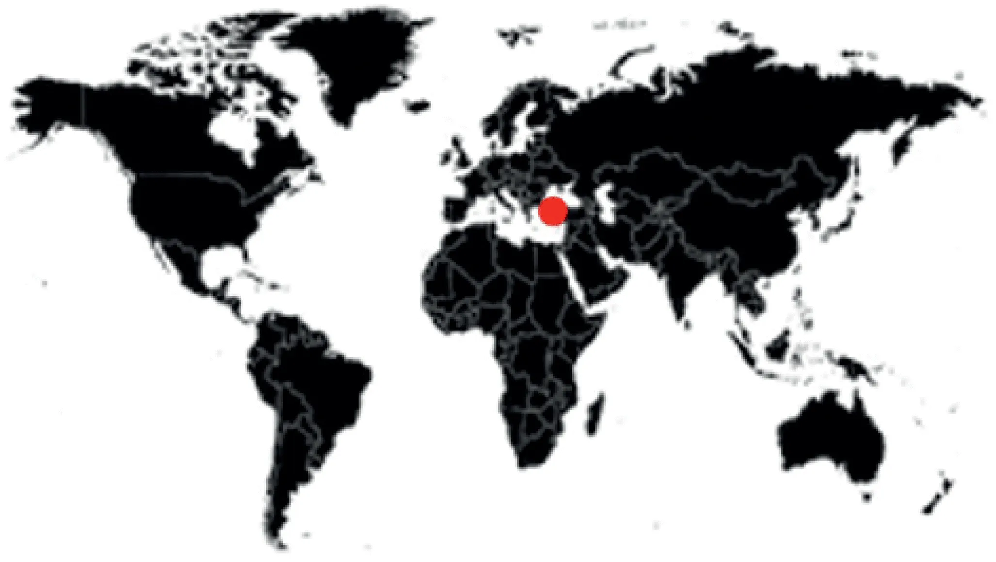
OBJECT: Archaeology
TECHNIQUE: GPR+FDEM
GEOGRAPHIC AREA: Turkey
An illustration of a world map with the location of Turkey marked.

7.1.1. Introduction

The results of geophysical surveys carried out at four, large, monumental complexes in Hierapolis (Turkey) are presented here. In particular, five different geophysical techniques (Ground‐Penetrating Radar, Electrical Resistivity Tomography, Magnetometry, FDEM and Seismic refraction Tomography) were integrated to collect new data for the reconstruction of the layout of the porticoes surrounding the Civil Agora, the Martyrium of St Philip and the Gymnasium. Furthermore, at the Apollo Sanctuary, also part of the site, were combined the geophysical techniques and the architectural data.
The so‐called Marmora Phrygiae Project sought to tackle various issues regarding the layout of specific monumental complexes in Hierapolis. Indeed, some of these have not yet been completely excavated, with large parts of them still covered by colluvial detritus and calcareous formations deposited in the post‐classical epoch. In addition, these monuments were built in a highly unusual environmental context, characterized by distinctive tectonic phenomena, such as the welling up of thermal spring waters from the subsoil via large cracks caused by earthquakes (Marabini 2015; Marabini and Scardozzi 2015).
The research thus pursued two main objectives:
  1. to establish the size of the individual complexes, making it possible to assess the extent of the monumental areas in the city’s various historic phases, the layout of the various building sites and the quantity of building stone used in them, and
  2. to reconstruct the tectonic context and the approaches to construction that were adopted in order to cope with the seismic nature of the geological substrate.
With these aims, research was therefore conducted on four monumental complexes: the Martyrium of St Philip, the Civil Agora, the Sanctuary of Apollo and the Gymnasium, which present specific conditions in terms of the reconstruction of their general l...

Table des matiĂšres